
From a local perspective the separation of Victoria from New South Wales was not nearly so important as the granting of local government to Sandridge in 1860. The leading citizens of Sandridge were very angry when municipal government was granted to various neighbouring districts but denied to them largely through the opposition of the City of Melbourne. Sandridge residents hoped their own council would give them roads, drainage and services as well as freedom from the overbearing Melbourne Corporation. There was keen competition for election to new the Borough Council.
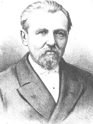
Thomas Swallow, the co-founder of the Swallow and Ariell food manufacturing company, was one of those elected to the first Council and served as the second Chairman of the municipality in 1861-62 following fellow businessman, William Morley, Coal Merchant.
In this decade Sandridge streets began to take a shape that we can recognise today by such buildings as the Court House, Police Station and old Post Office.
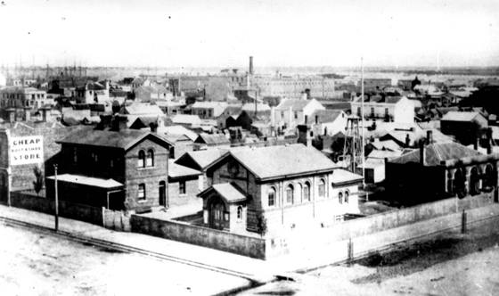
Behind the Court House this photo shows a low bluestone building where the first municipal council met in 1860.
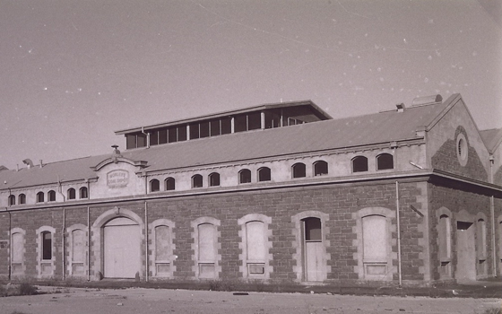
On the corner of Bay and Beach Streets, William Morley built a bluestone warehouse for storing coal, a building still recognisable today although it has been converted into a gymnasium.
One of the most pressing issues for residents of Sandridge was the condition of the Lagoon. This once beautiful stretch of water had become little more than an open cess-pit dividing Emerald Hill from Sandridge. The two municipalities each blamed the other for its condition and neither was prepared to accept the responsibility for rectifying the problem.
The upper section from Bridge Street was quite shallow and plans were emerging to fill it. Some advocated that a channel from its western end could be dug to connect it to the Yarra near Princes Bridge where facilities for a city harbour could be built.
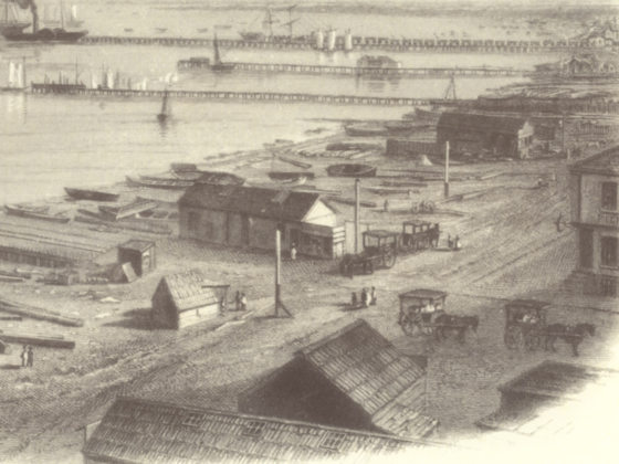
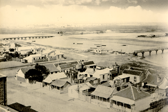
This image from 1863 shows both Town Pier and Railway Pier were in constant use for the landing of both cargo and passengers. There were still various buildings near the shore almost down to the high water mark.
After the Crimean War people in Sandridge had a great fear of Russian invasion. A considerable amount of energy and money went into building coastal defenses in both Williamstown and Sandridge. From the sugar works on the shore of the Lagoon to St Kilda a line of batteries were built to allow for guns to defend against attack from the sea.
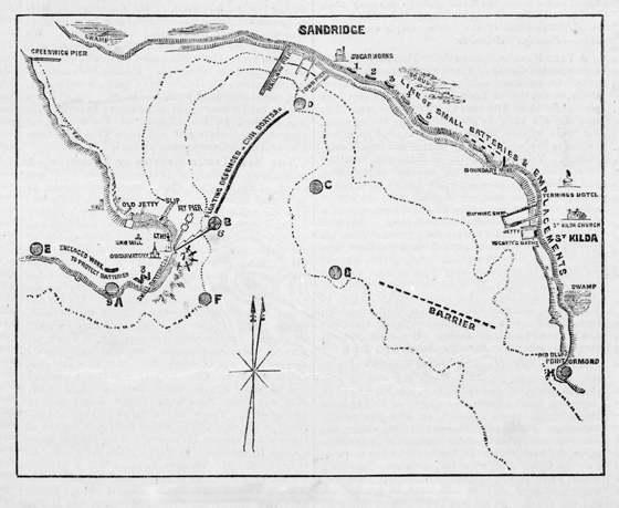
This map in the State Library of Victoria shows the plan for these defences and incidentally gives a picture of other infrastructure along the Sandridge sea-front.