by Julie Peters
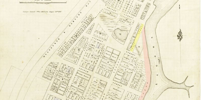
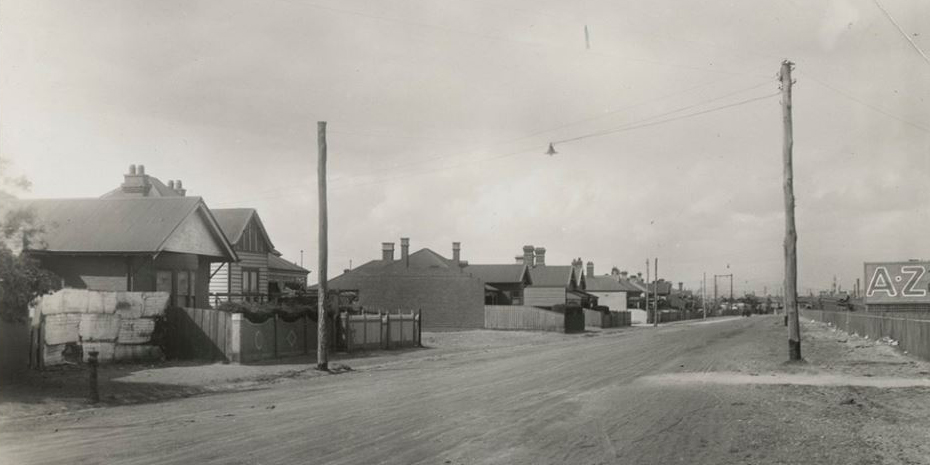
I was one of the nine Cogan kids who lived in the old general store on the corner of Ross and Raglan Streets. My grandparents had the business from the 1920s until it closed in early 70s. This area was prone to flooding.
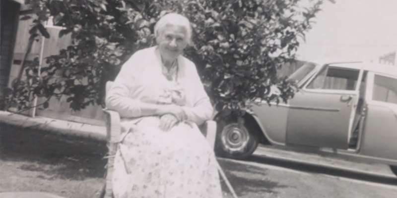
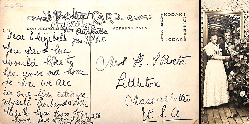
1954, the family shop, Nana in doorway, corner of Ross and Raglan Streets (photo…