Jim Sinclair
extracts from an interview conducted by John May and Janet Bolitho on 30 June 2020.
Where and when were you born Jim?
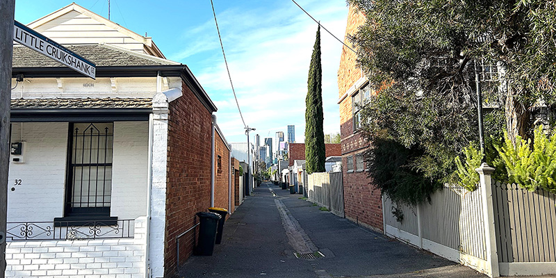
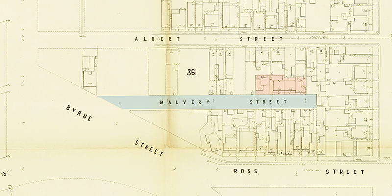
I was born in 1924 in Cruikshank St, in Port Melbourne. My father was a fireman at Eastern Hill Fire Station. I don’t know what my mother did when she was working. She must of…